A View from the Top
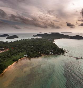
On the west side of Ko Mak, next to Laem Tukkata, lies Khao Phaenthi, the highest mountain on the island. This amazing vantage makes it the perfect sunset viewpoint. In the past it used to be named Khao Tha Nam, but then in 1967 the navy came to explore and map the area. During that time, they planted a marker on its peak to be used as a reference for seafarers. Since then, it has been called Khao Phaenthi or Map Mountain.
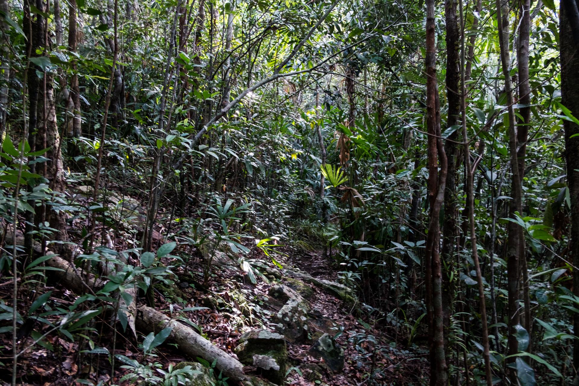
Making the climb up Khao Phaenthi can be a difficult walk, and it is highly recommended that visitors get a local guide. Inexperienced travellers could easily find themselves lost. The route is both narrow and steep, with some footing on rough rocks. The area is full of thick woods, ranging from perennial plants and bushes to wild orchids. Although the climb sounds daunting, it is not as hard as it seems. It promises a fun and challenging adventure, and it only takes 20 minutes to clear the forest and reach the expansive view at the top.
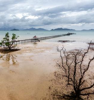
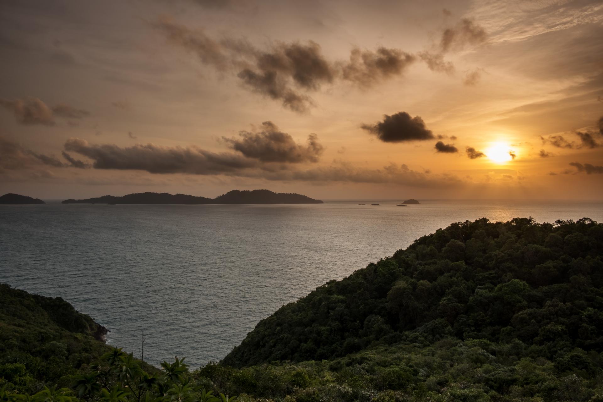
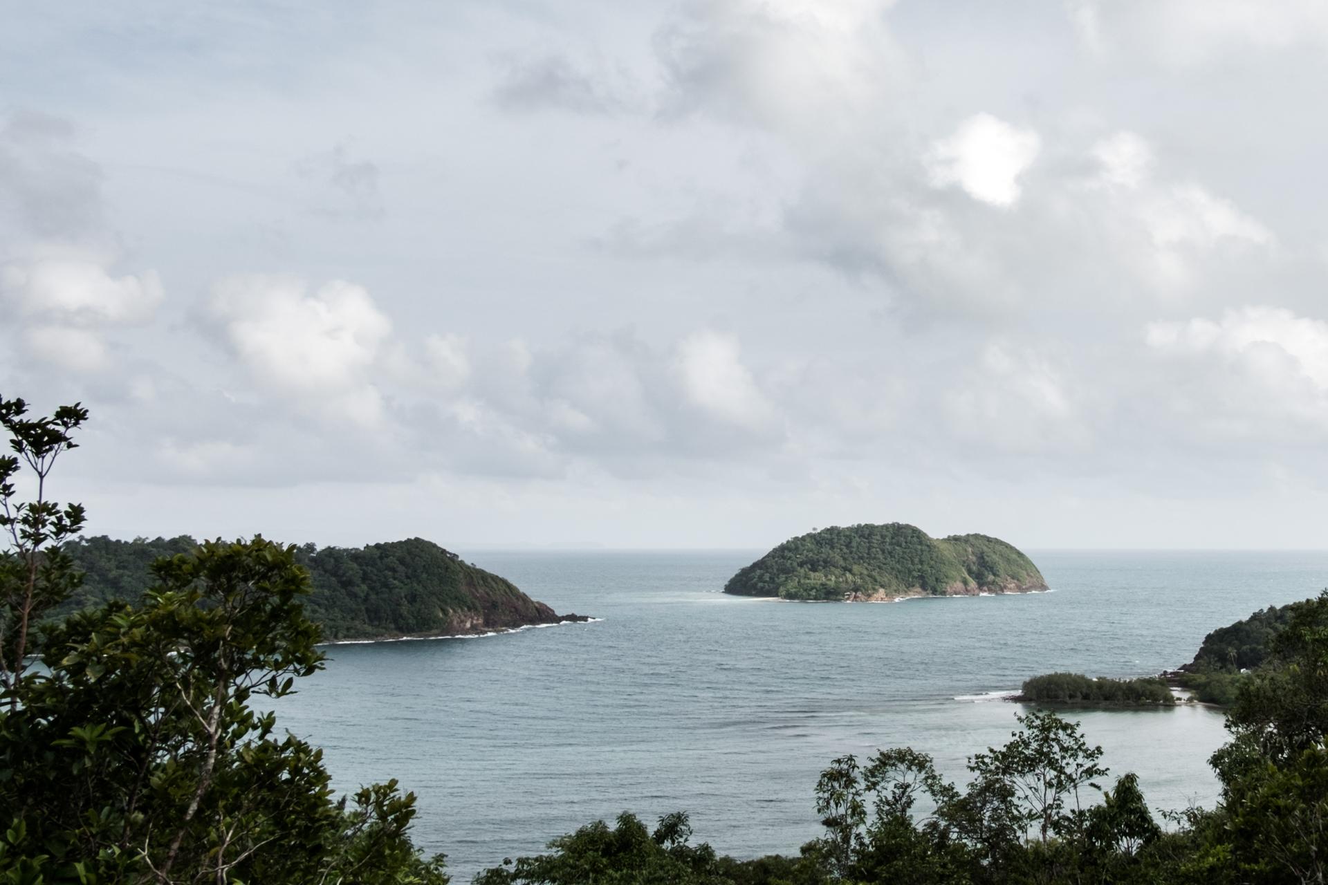
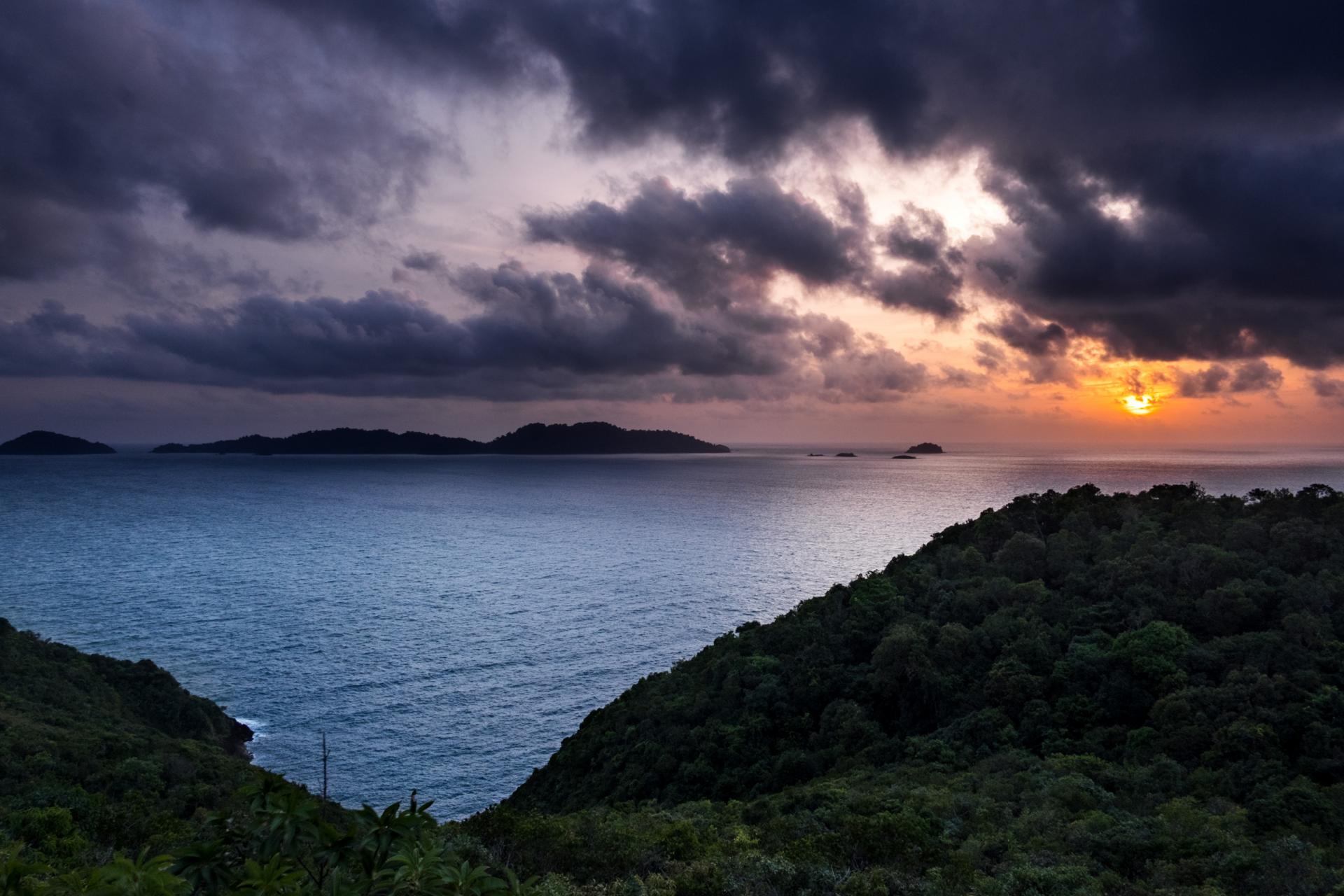
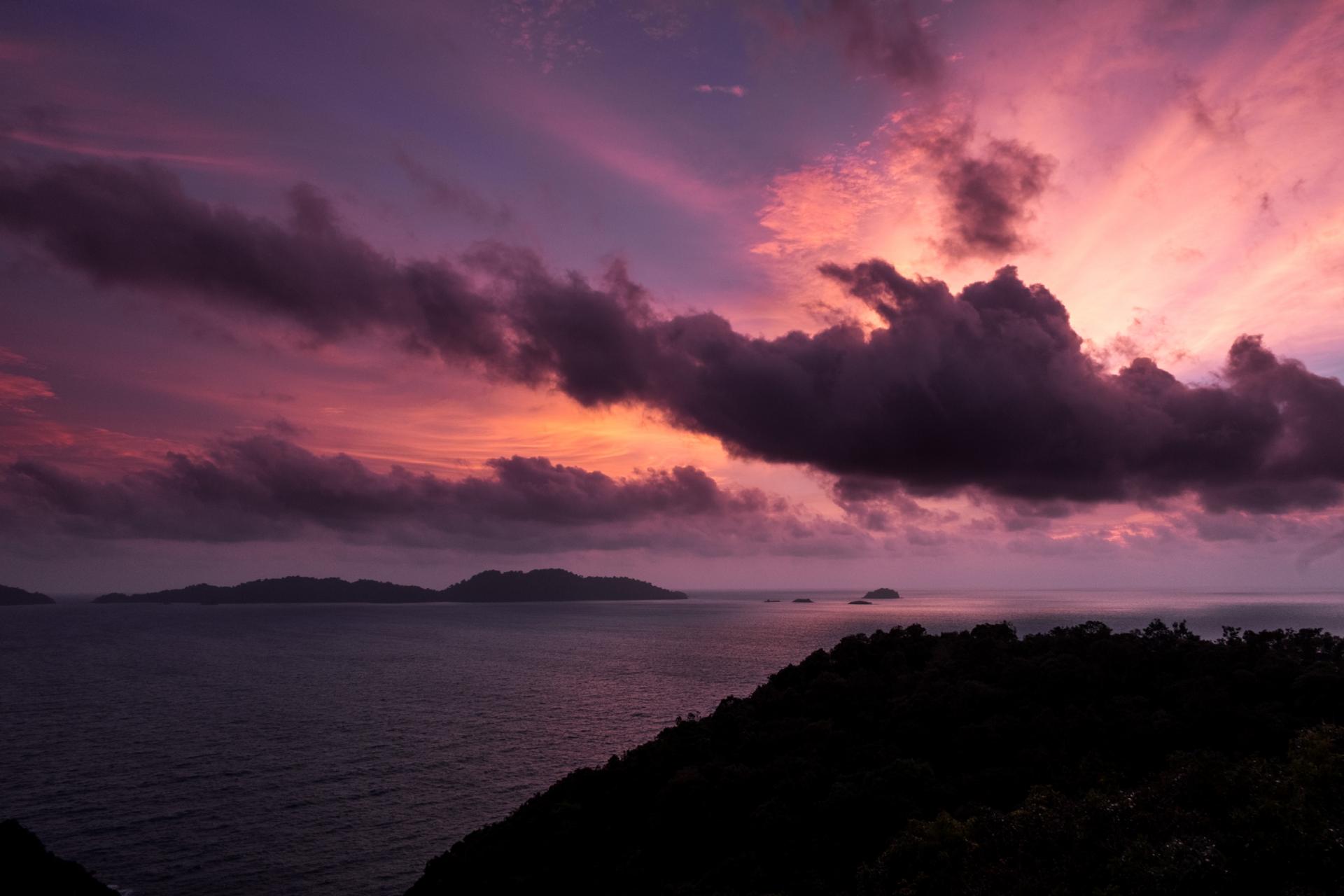
The trek will be worth it, as any fatigue will melt away upon reaching the peak. The wide open space along the cliff offers a cooling breeze to accompany the breathtaking view. Adjacent to the bay are Ko Rayang Nok and Ko Rayang Nai, laying still amid the lapping waves of the crystal blue sea. It is the perfect place to linger for the sunset. Just make sure to have a camera ready.
When the blazing sun finally begins to dip below to touch the blue sea, colours streak through the sky. Swathes of oranges, pinks, purples and reds spread out from behind the clouds. It is an enchanting moment worth the wait.
The return trip can be a little tricky in the dark, so make sure to have a flashlight on hand. Descend slowly and carefully with the aid of the guide, and it will be a short trip to safely arrive at the entrance by the road.
Contact local guides for Khao Phaenthi through Khun Nipon Suttitanakul (Phi On), President of Ko Mak Tourism Club; Tel.: +66(0)8 1443 1294.
Khao Phaenthi